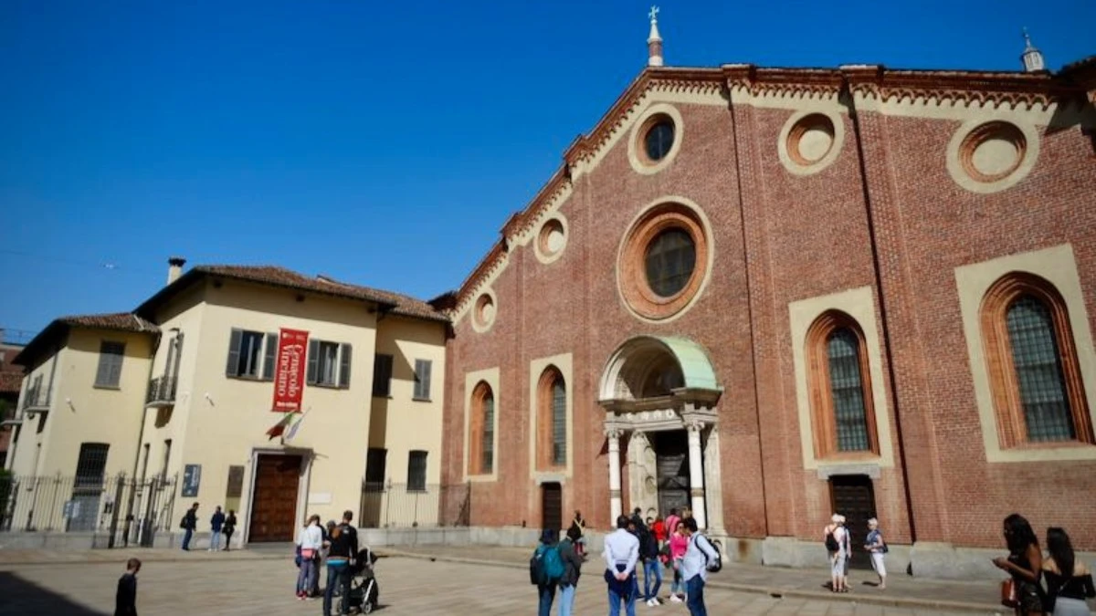
The easiest way to reach Santa Maria delle Grazie is by metro: take the M1 Red Line to Conciliazione station, then walk 5 minutes south on Via Boccaccio. Alternatively, Tram 16 stops directly outside the church on Corso Magenta. The complex is located at Piazza di Santa Maria delle Grazie, 20123 Milan, inside the ZTL congestion zone — driving is strongly discouraged.
Santa Maria delle Grazie sits in a quiet residential part of central Milan, about 20 minutes on foot from the Duomo. Getting here is straightforward once you know which entrance you’re heading to — because the church and the Last Supper Museum have separate doors.
This guide gives you exact directions by every transport mode, plus the one detail most visitors miss: the museum entrance is on Via Caradosso, not on the main piazza.
Top Tickets
# Last Supper Guided Tour
# Last Supper Semi-Private Tou
# Last Supper + Milan Guided Tour
Table of Contents
Where Is Santa Maria delle Grazie?
Address: Piazza di Santa Maria delle Grazie, 20123 Milan, Italy
Last Supper Museum entrance: Via Caradosso 1, 20123 Milan (separate from the church door)
The complex sits in the Magenta district, a leafy, residential neighbourhood known for its Liberty-style buildings and wide, walkable streets. It’s in central Milan but away from the main tourist corridor.
| Transport | Best For | Approx. Travel Time from Duomo |
| Metro M1 (Red Line) | Speed and reliability | 10 min (4 stops + 5 min walk) |
| Tram 16 | Scenic, direct stop | 15–20 min |
| Bus 50 / 169 | Local routes | 20–25 min |
| Walking | Flexibility, no transfers | 20 min on foot |
| Driving / taxi | Last resort only | Unpredictable, ZTL restrictions |
By Metro: Fastest Option
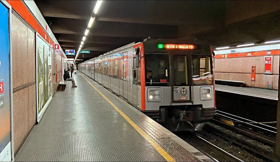
Take the M1 Red Line to Conciliazione station. From the station exit, walk south along Via Boccaccio for about 5 minutes — Santa Maria delle Grazie will appear on your right. Alternatively, use the M2 Green Line to Cadorna station and walk 8 minutes west. Trains run every 3–6 minutes on both lines.
M1 Red Line → Conciliazione (Recommended)
- Board M1 Red Line heading west (towards Rho Fieramilano)
- Exit at Conciliazione (4 stops from Duomo station)
- Take the Via Boccaccio exit
- Walk south for 5 minutes — the church dome appears on your right
- For the museum entrance, continue to Via Caradosso 1
M2 Green Line → Cadorna
- Board M2 Green Line from Milano Centrale or Loreto
- Exit at Cadorna FN station
- Walk west along Via Carducci for 8 minutes
- Turn left onto Corso Magenta — the church is on your right
Milan’s metro tickets cost €2.20 per journey (valid 90 minutes across metro, tram, and bus). Buy single tickets from vending machines at any station, or load a rechargeable ATM card for convenience.
By Tram: Most Direct Surface Route
Tram 16 (Monte Velino–San Siro route) stops directly outside Santa Maria delle Grazie on Corso Magenta. Board at Piazza del Duomo or along Via Torino. The journey takes 15–20 minutes and drops you at the church door — no walking required. Trams run every 7–10 minutes.
- Board at: Piazza Duomo, Via Torino, or anywhere along the Corso Magenta route
- Stop name: S. Maria delle Grazie (stop is directly outside the church)
- Frequency: Every 7–10 minutes during the day
- Journey time from Duomo: 15–20 minutes
By Bus
Bus lines 50 and 169 stop near the Cadorna area, from where it’s an 8-minute walk to the church. Buses are better suited to visitors staying in local neighbourhoods without direct metro access.
Walking from Key Milan Landmarks
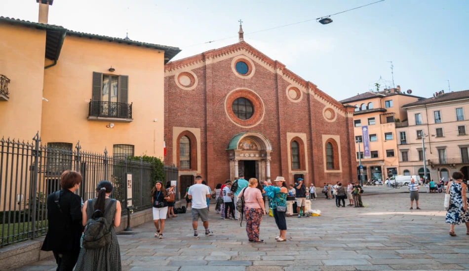
Santa Maria delle Grazie is 20 minutes on foot from the Duomo, 12 minutes from Sforza Castle, and 8 minutes from Cadorna station. Milan is flat and the route is straightforward along Corso Magenta. Walking is a genuine option if you’re combining both landmarks in a single morning.
| Starting Point | Walking Time | Route Summary |
| Duomo di Milano | ~20 minutes | Via Torino → Corso Magenta west |
| Sforza Castle (Castello Sforzesco) | ~12 minutes | Via Magenta south-west |
| Cadorna Station | ~8 minutes | Via Carducci west → Corso Magenta |
| Brera district | ~15 minutes | Via Pontaccio → Via Magenta |
If you’re planning to visit both the Duomo and Santa Maria delle Grazie on the same day, see our detailed directions from Duomo di Milano to Santa Maria delle Grazie for the best combined route.
From Milan’s Train Stations and Airports
From Milano Centrale
- Take M2 Green Line to Cadorna (6 stops, ~12 min)
- Walk 8 minutes west along Via Carducci, or switch to M1 for 1 stop to Conciliazione
From Malpensa Airport (MXP)
- Take Malpensa Express train to Cadorna FN (50 min)
- Walk 8 minutes or take M1 one stop to Conciliazione
- Total travel time: approximately 60 minutes door to church
From Linate Airport (LIN)
- Take Bus 73 to San Babila M1 station (20 min)
- Take M1 Red Line west to Conciliazione (4 stops, ~6 min)
- Walk 5 minutes to the church
Driving and Parking: Not Recommended
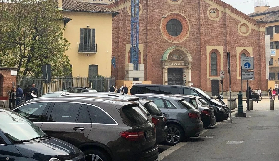
Santa Maria delle Grazie is inside Milan’s ZTL (Zona Traffico Limitato), a restricted traffic zone active during daytime hours. Non-resident vehicles face automatic fines of €80–€160. Street parking near the church is extremely limited. If you must drive, use Garage Alle Grazie on Via Caradosso — but public transport remains far easier.
ZTL warning: Milan’s ZTL cameras operate automatically. If you’re renting a car, check your rental agreement — many rental companies pass ZTL fines onto customers weeks after the trip.
Nearest parking options:
- Garage Alle Grazie, Via Caradosso — 200m from the museum entrance
- Parking Magenta, Viale Coni Zugna — 400m, slightly cheaper
- Street parking (blue lines): Paid, extremely limited, check time restrictions
Finding the Right Entrance
The most common on-site mistake: the church and the museum are in the same complex but have different entrances on different streets.
- Church entrance: Piazza di Santa Maria delle Grazie (main facade on the piazza)
- Last Supper Museum entrance: Via Caradosso 1 (around the left side of the complex)
If you arrive at the main piazza and walk through the church door, you will be in the church — not the museum. Staff at the entrance can direct you, but in busy periods signage is not always obvious.
Museum map: Download the map of Santa Maria delle Grazie’s Refectory. It will guide you through the complex, highlighting key areas and artworks, including The Last Supper.
Frequently Asked Questions
What metro stop is closest to the Last Supper?
Conciliazione station on the M1 Red Line is the closest, with a 5-minute walk. Cadorna on the M2 is slightly further, about 8 minutes on foot.
Is Santa Maria delle Grazie walkable from the Duomo?
Yes, 20 minutes on flat streets along Corso Magenta. For a detailed walkthrough, see our Duomo to Santa Maria delle Grazie directions guide.
Is there parking near Santa Maria delle Grazie?
Very limited. The area is inside the ZTL zone. Garage Alle Grazie on Via Caradosso is the nearest paid option. We strongly recommend using the metro or tram instead.